Northumberland County sits along the north shore of Lake Ontario, roughly halfway between Toronto and Kingston. It includes seven municipalities, combining agricultural countryside, small historic towns, forest, and shoreline within a relatively compact region. The county covers over 2,000 square kilometres and balances working farmland with protected natural areas. It feels spacious but not remote — rural roads, village cores, and waterfront parks are rarely far apart.
Highlights
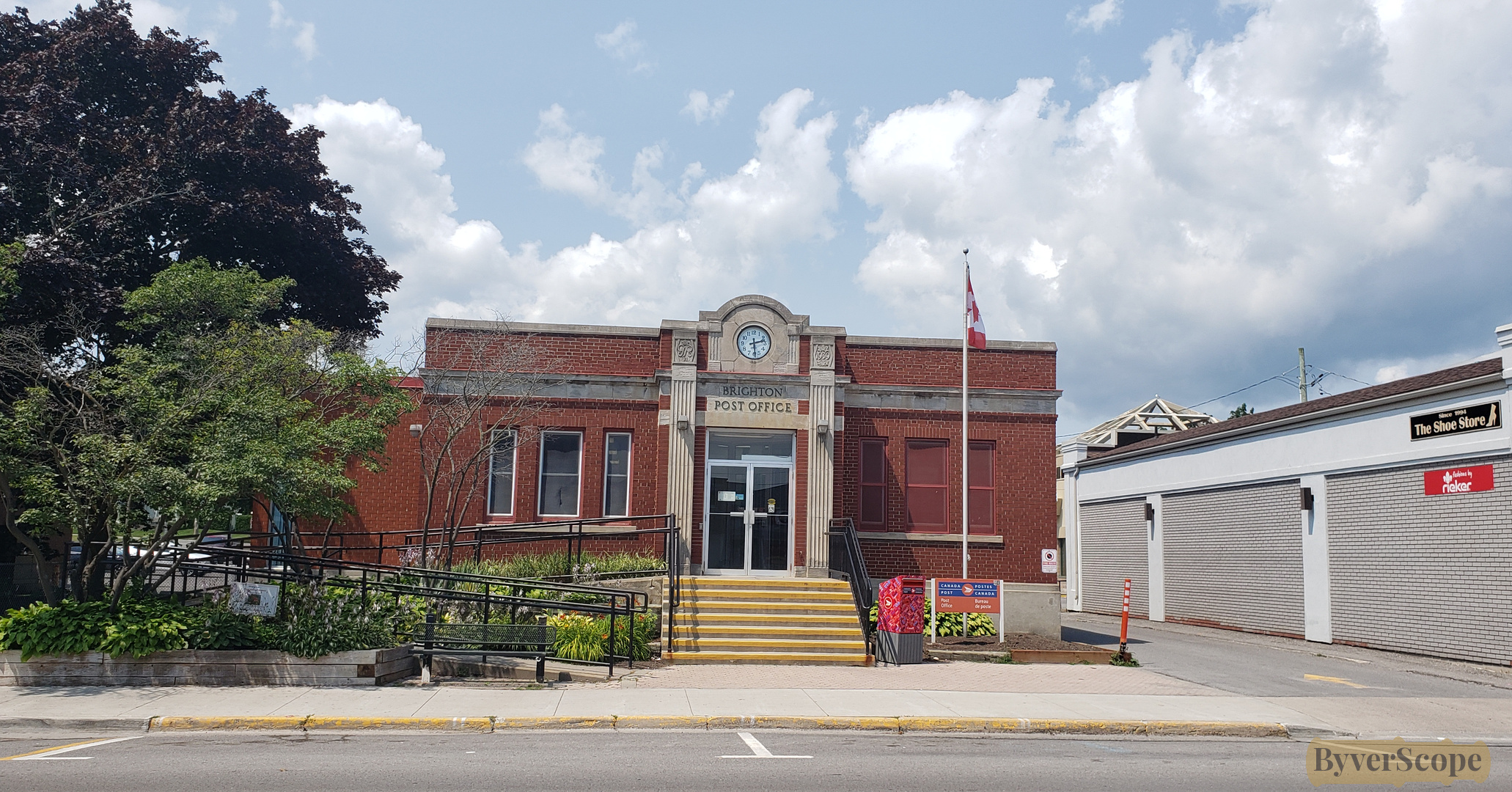
- 19th-century brick main streets in Cobourg, Port Hope, Colborne, and Brighton
- Lake Ontario shoreline, beaches, and marinas
- Rice Lake fishing and cottage country
- Northumberland County Forest multi-use trail network
- Presqu'ile Provincial Park wetlands and bird migration routes
- Rural barns, orchards, and seasonal farm markets
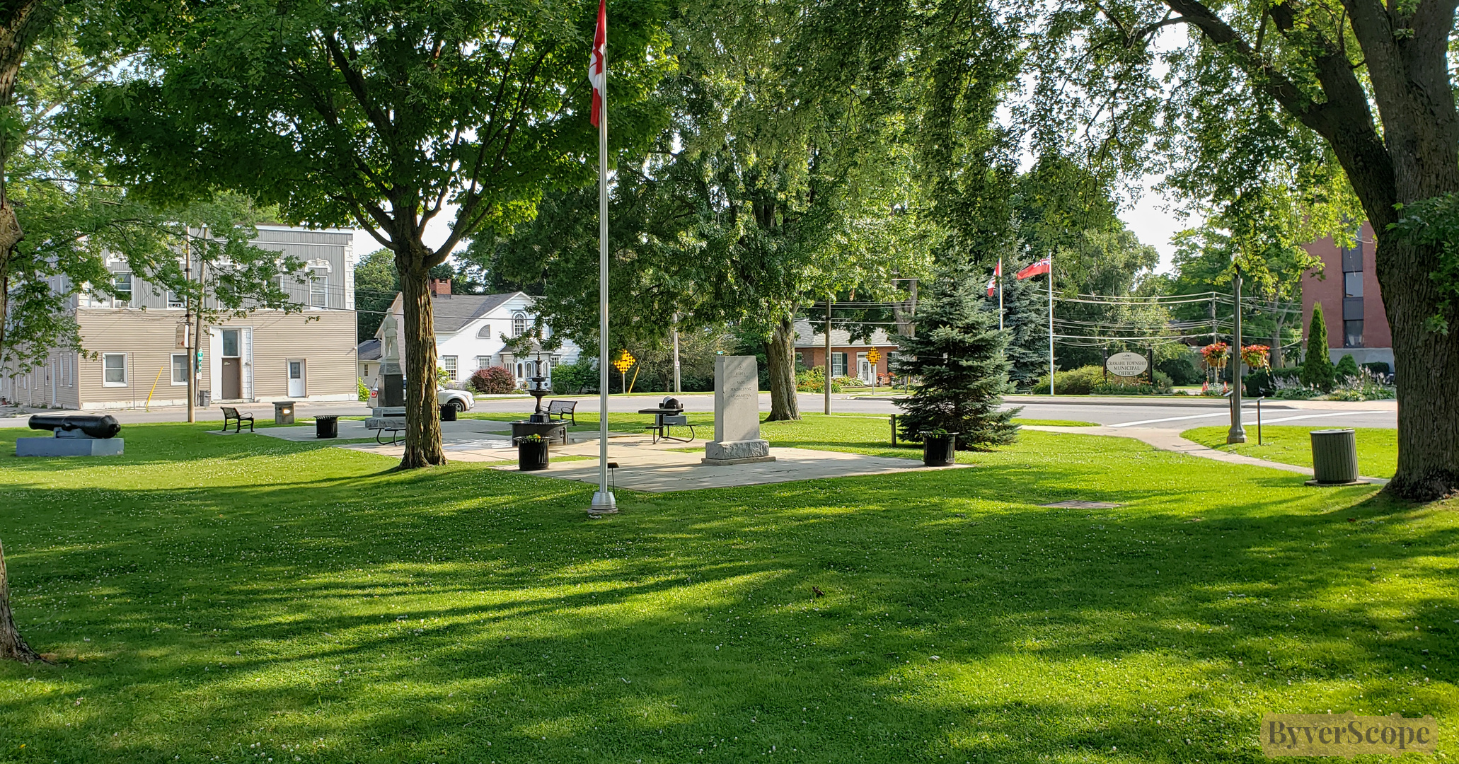
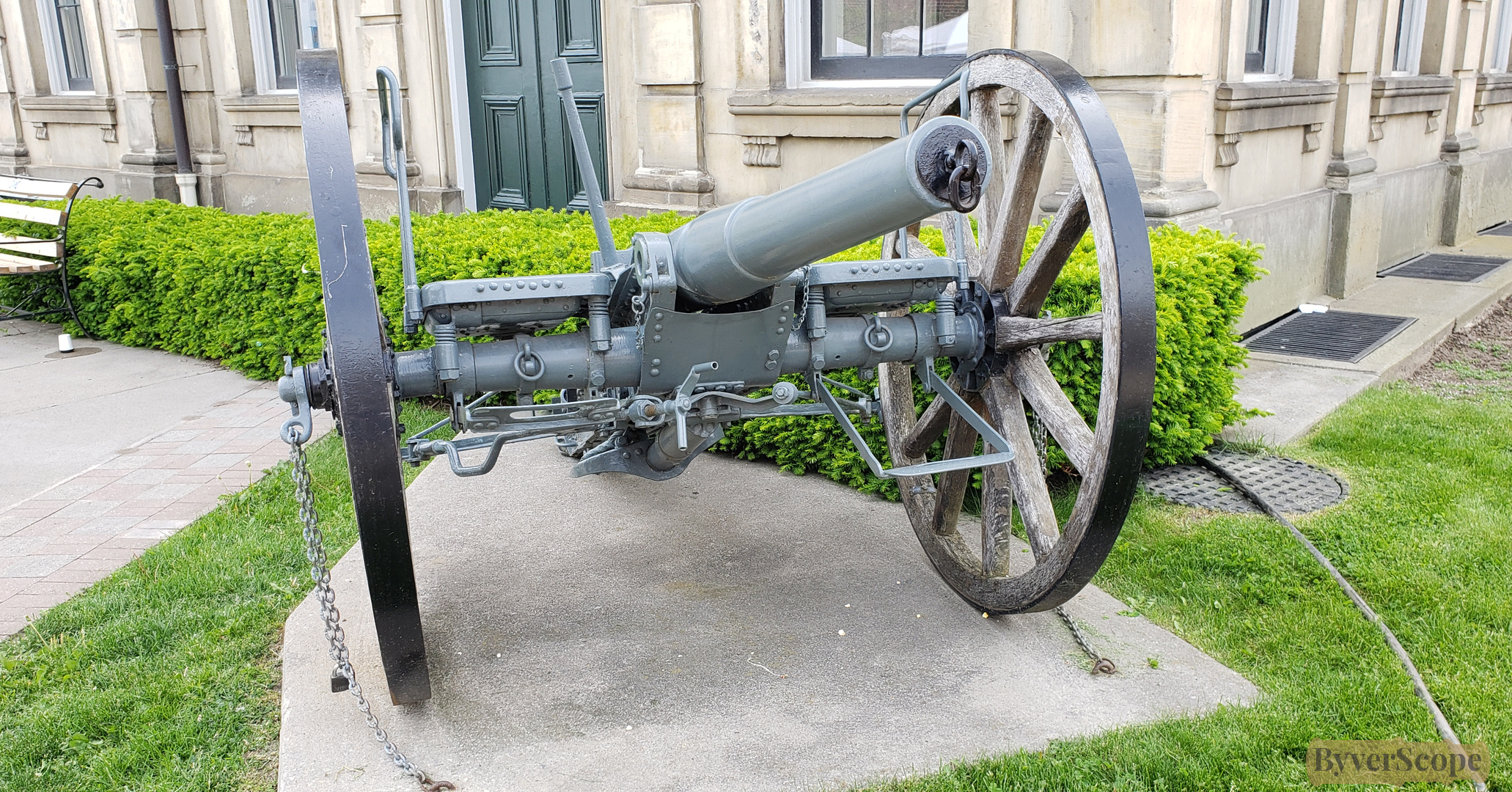
- Heritage civic buildings and railway-era artifacts
Northumberland County was formally established in 1792 as part of Upper Canada’s early administrative divisions. Its development was shaped by Loyalist settlement, agriculture, milling, and later rail connections along the Lake Ontario corridor. Over time, independent townships and municipalities evolved into the current upper-tier county government structure. Today, the county coordinates services across its seven member municipalities while preserving historic cores and large natural areas.
Explore Northumberland County
The county stretches east–west along Lake Ontario and north toward Rice Lake and the Oak Ridges Moraine. Waterfront towns form the southern anchor, while forest and farmland dominate inland.
Experiences around Northumberland County
Northumberland works well as a full-day or weekend destination. Experiences range from shoreline walks to forest cycling routes and compact historic downtown explorations.
Visitor tips / Practical notes
- Best for: Scenic drives, walking downtowns, cycling, beach days
- Energy: Mostly calm; busier in Cobourg and Port Hope during summer festivals
- Good with kids: Yes — beaches, parks, and flat harbour paths are accessible
- Dog-friendly: Many trails and waterfront paths (leash rules apply)
- When it works best: Late spring through fall; winter is quieter but suitable for forest hiking and cross-country skiing
- Safety notes: Rural roads can be narrow; watch for cyclists and farm vehicles
- Cost expectations: Most parks and downtown exploration are free; Presqu’ile Provincial Park requires a vehicle permit
- Accessibility: Larger waterfront parks and downtown sidewalks are generally accessible; forest trails vary in surface and grade
This is a region best approached at a steady pace — towns are close together, but landscapes open up quickly between them. Planning short drives between walkable cores keeps the day balanced.
Nearby Areas
Explore beyond the county boundaries
- Prince Edward County – Wineries, beaches, and island geography (≈1 hr east)
- Kawartha Lakes – Cottage lakes and Trent-Severn waterway routes (≈45 min north)
- Durham Region – Larger urban centres and Lake Ontario waterfront trails (≈30 min west)
- Peterborough – Canal lift lock and riverside trails (≈45 min north)
Join our newsletter
Stay updated on new areas, experiences, and travel inspiration.