Campbellford is shaped by water. The Trent River runs straight through town, powering stations, feeding locks, and slowing down just enough in parks and bends to invite you to stop. A few hours here means walking bridges, watching the lock gates open and close, cutting through Old Mill Park, and noticing small, almost accidental details along the way. It’s not a checklist town — it’s a follow-the-river kind of place.
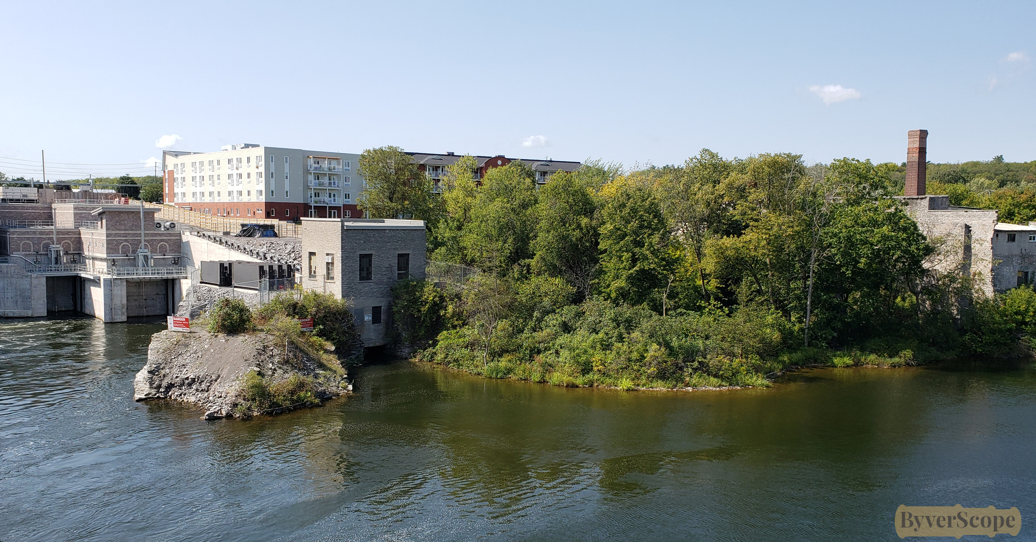
The Trent River flows steadily past the Ranney Falls Generating Station, where industry and water meet without fuss.
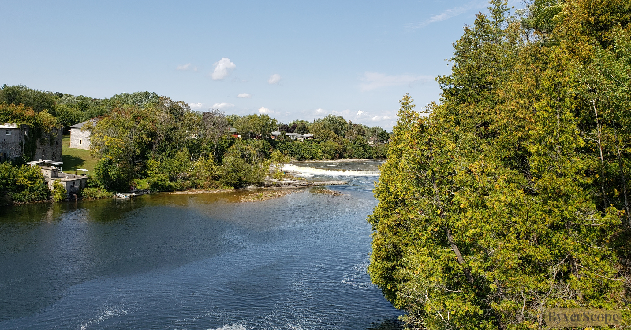
Trees line the river near Ranney Falls, softening the current and quieting the scene.
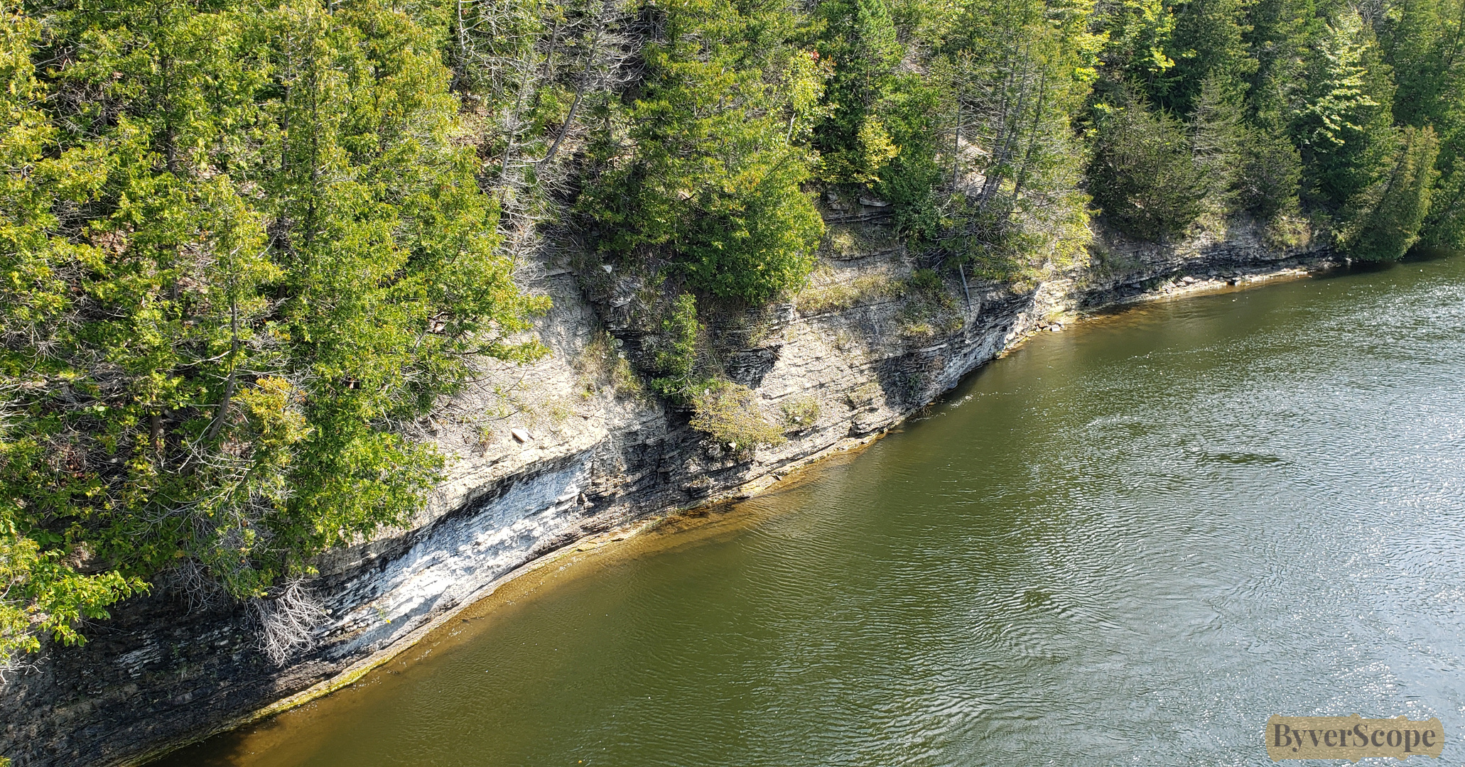
Rocky riverbanks rise sharply, trees clinging to the rugged walls above the flowing water.
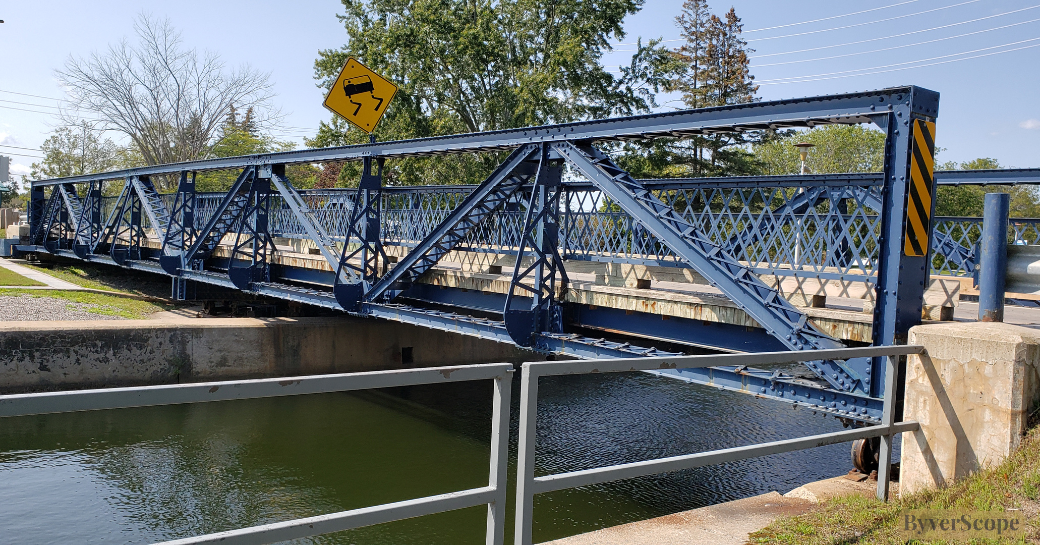
The steel bridge lifts open, pausing traffic as boats prepare to pass.
Beyond the bridge, the canal stretches forward, clean lines bordered by grass.
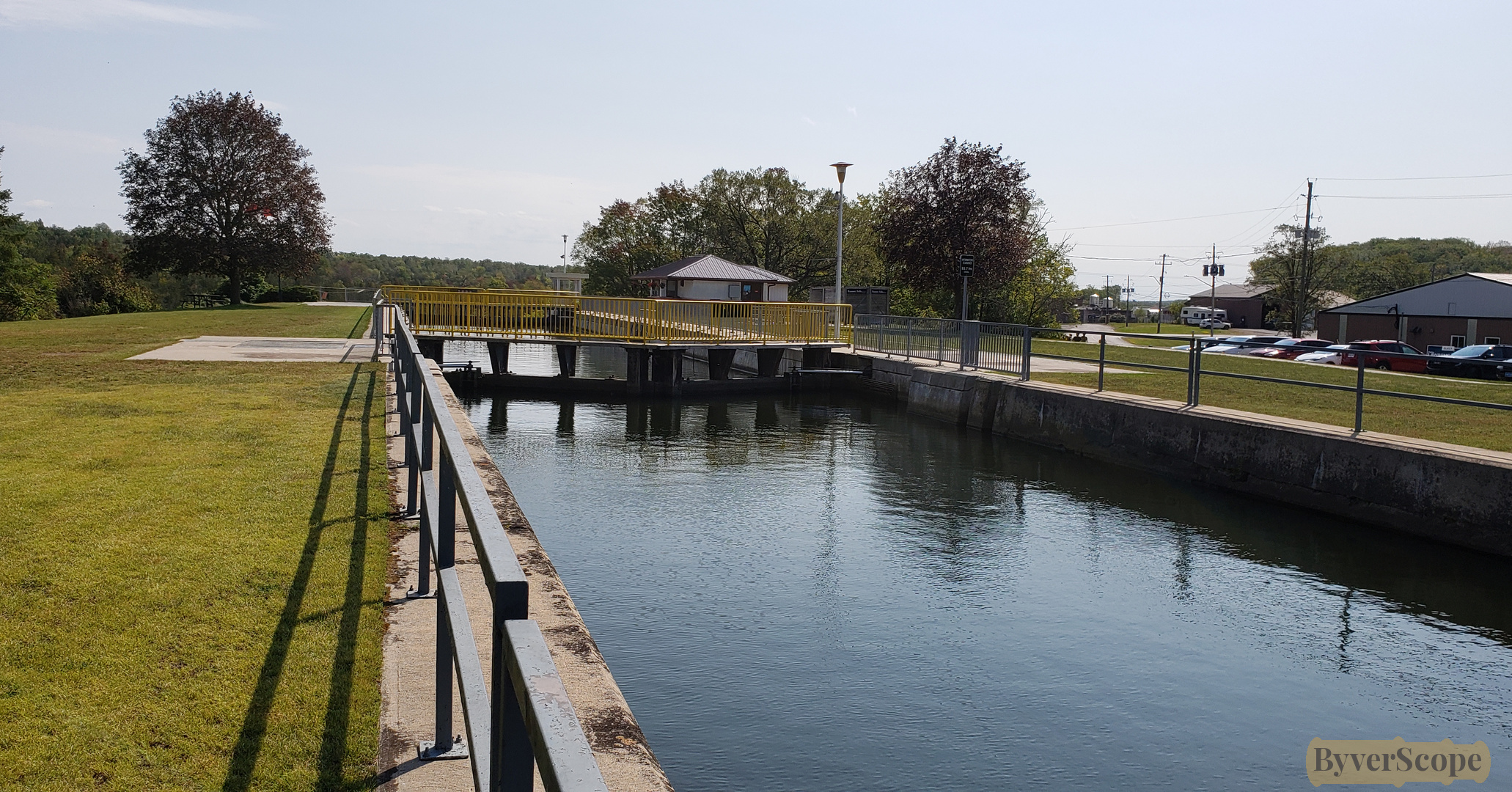
Closer now, the lock comes into focus—functional, precise, quietly impressive.
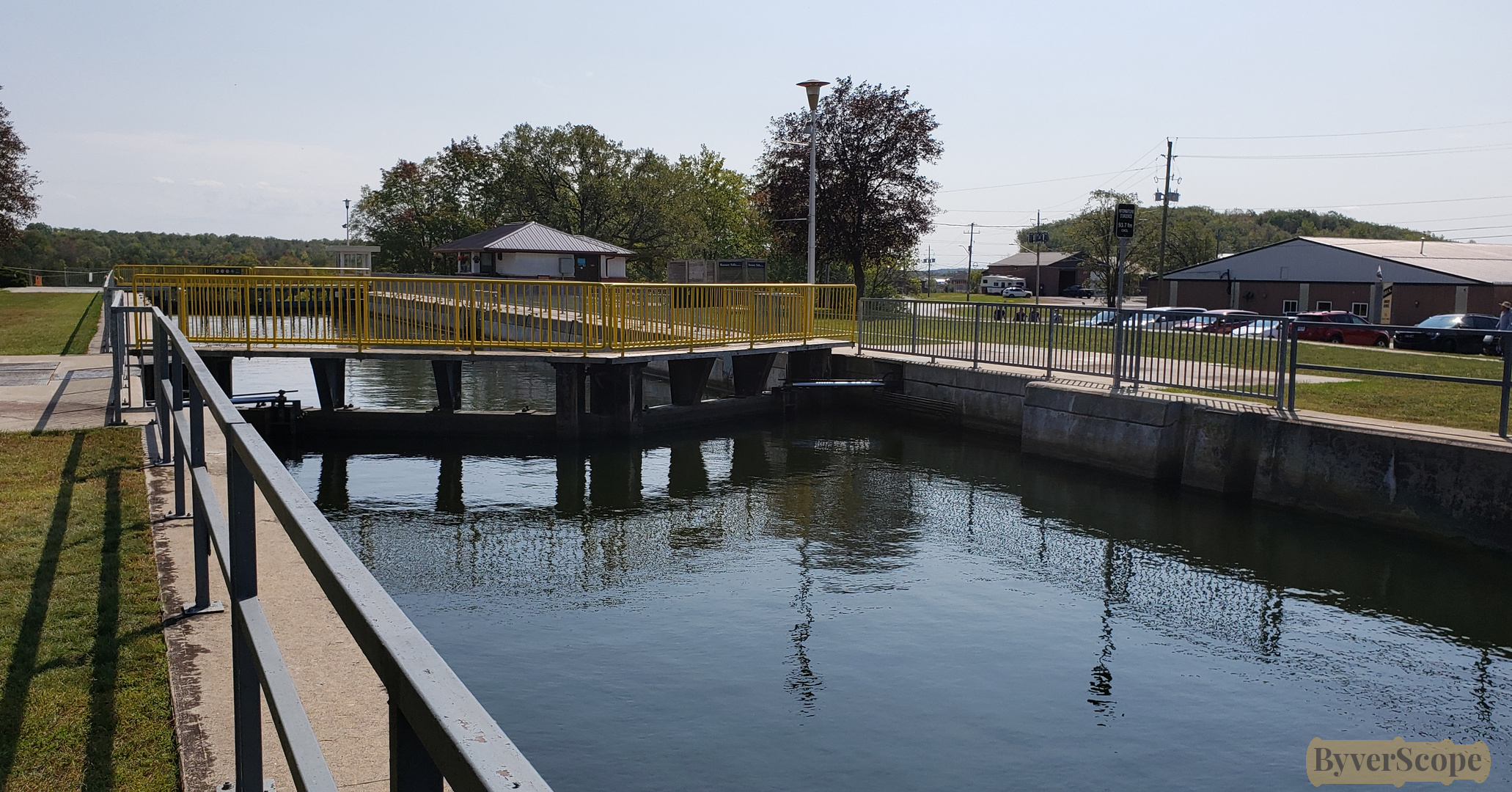
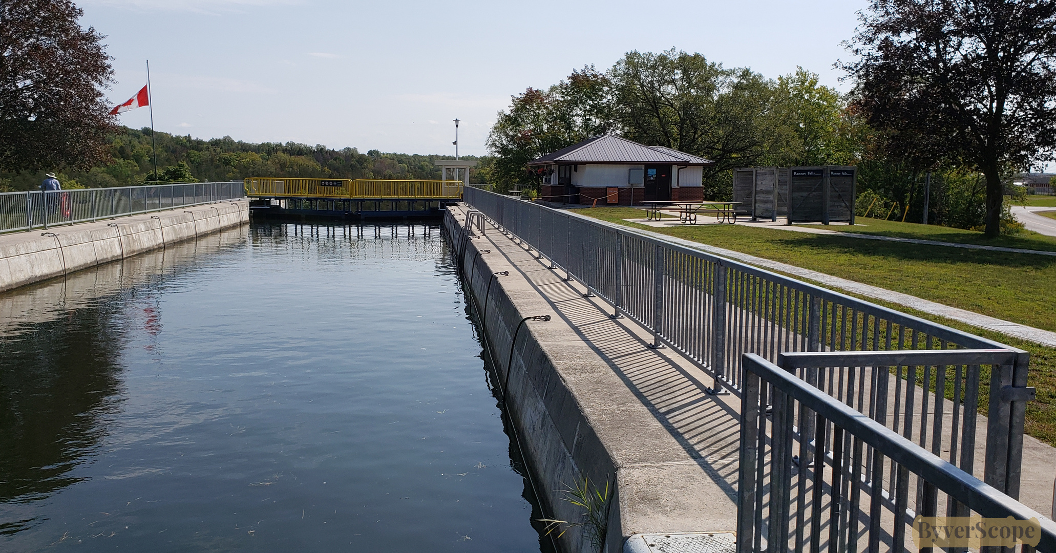
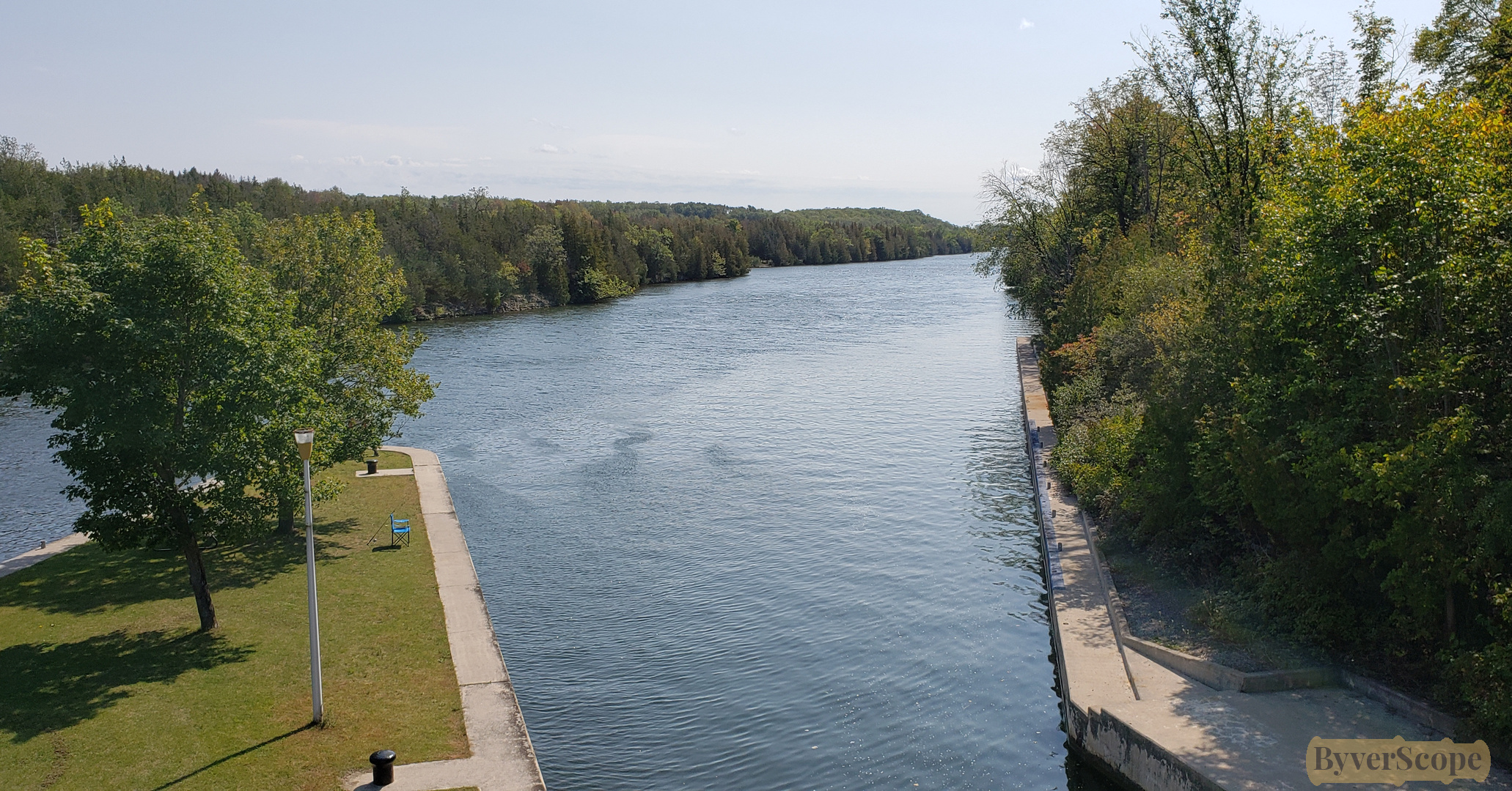
A long view down the canal shows straight concrete walls and metal fencing guiding the water’s path.
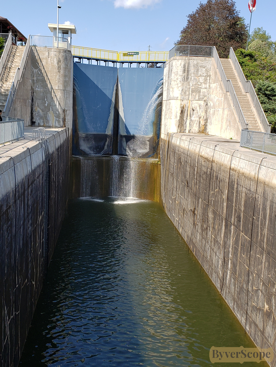
From below, the closed lock doors and lowered water level create a dramatic, almost theatrical scene.
Looking down from the overpass, the river splits neatly around a grassy wedge. River continuing into the distance, framed by trees.
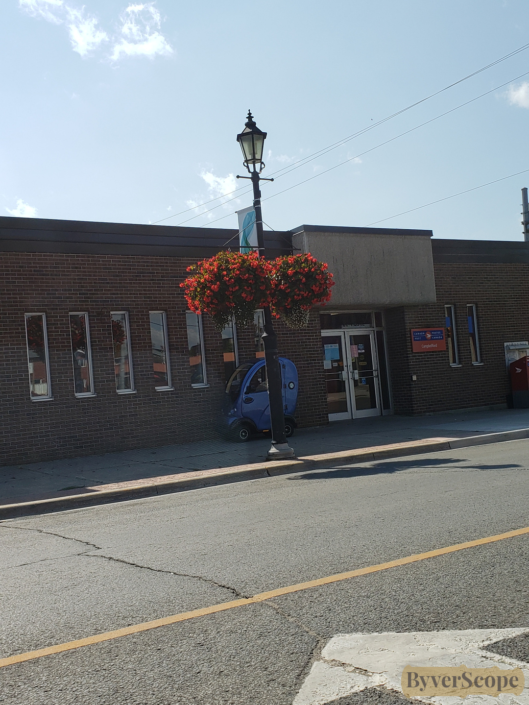
Back on town streets: a modest one-storey office building, an e-scooter quietly parked behind a light pole.
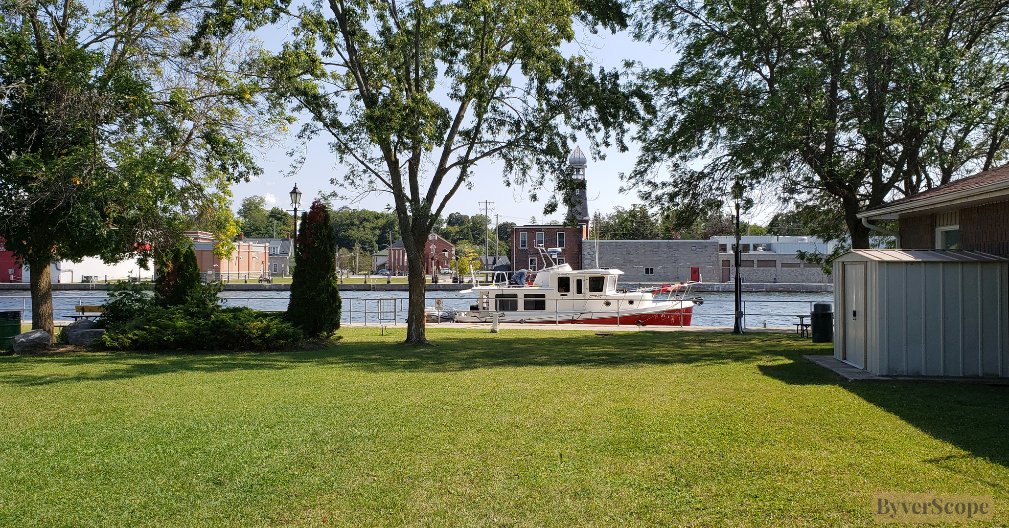
At Old Mill Park, the Trent River slows, a small boat moored along the calm edge.
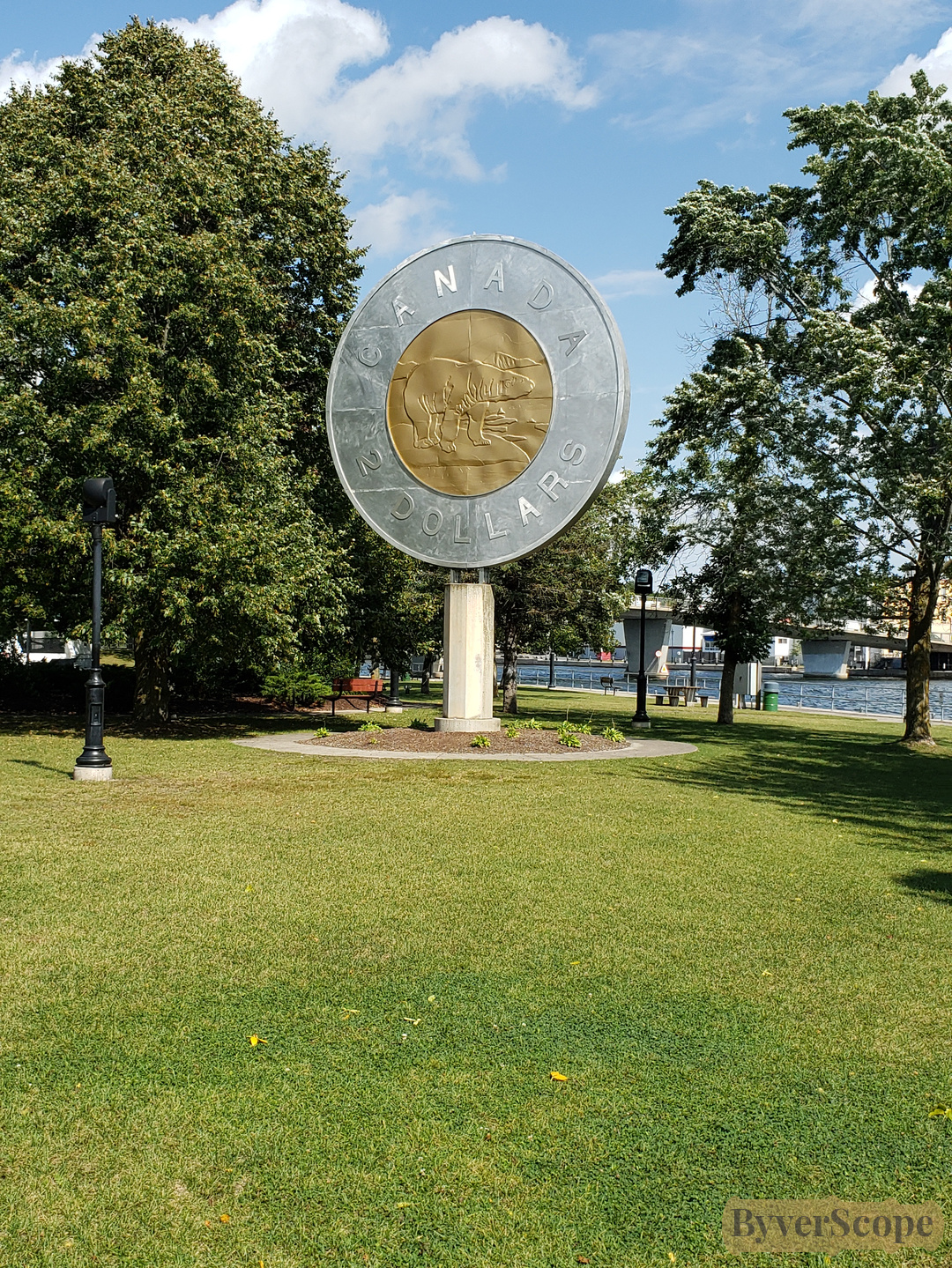
In the middle of the park there is the Campbellford’s most playful landmark: a giant toonie, its polar bear larger than life, welcoming you with quiet humour.
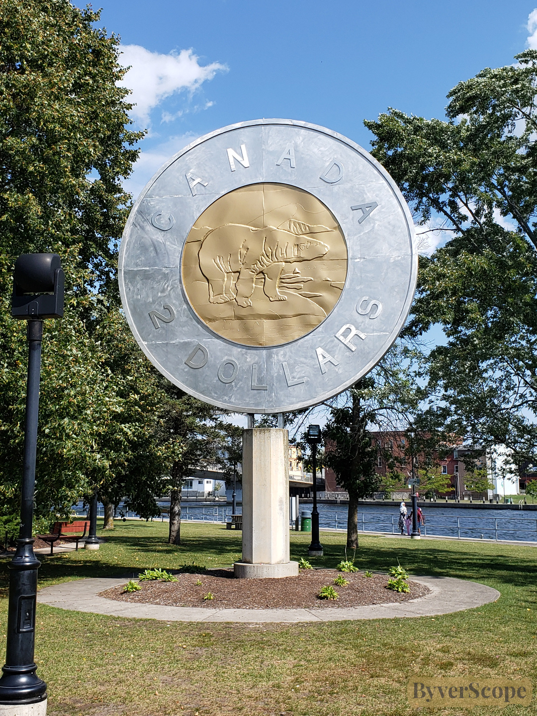
From a distance, the oversized coin sits calmly on green grass, framed by trees—odd, charming, and unmistakably Canadian.
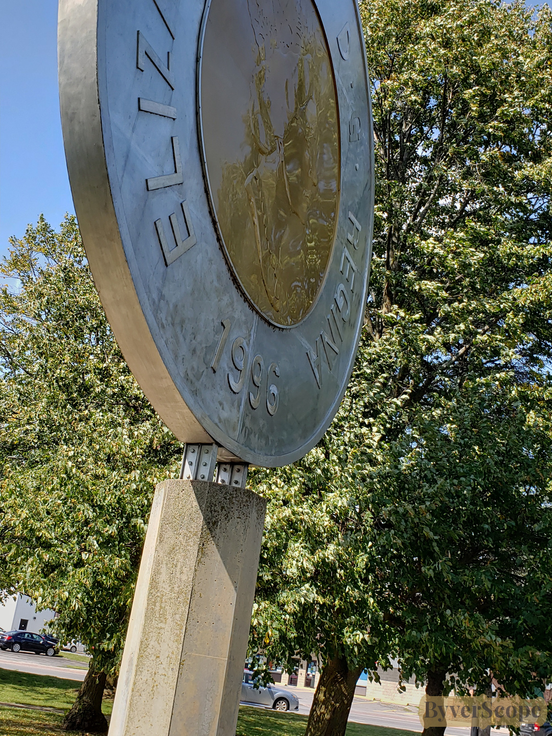
A slanted side view gives the toonie a dramatic edge, like public art caught mid-pose.
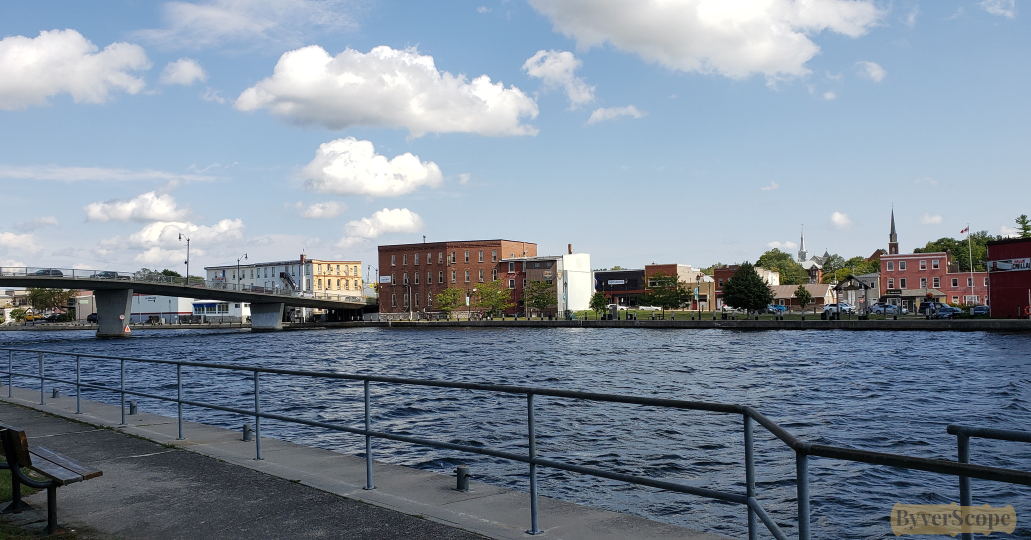
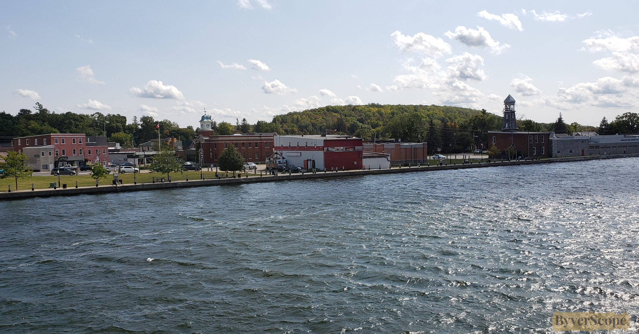
Looking east along the river, buildings line the far bank beneath drifting white clouds.
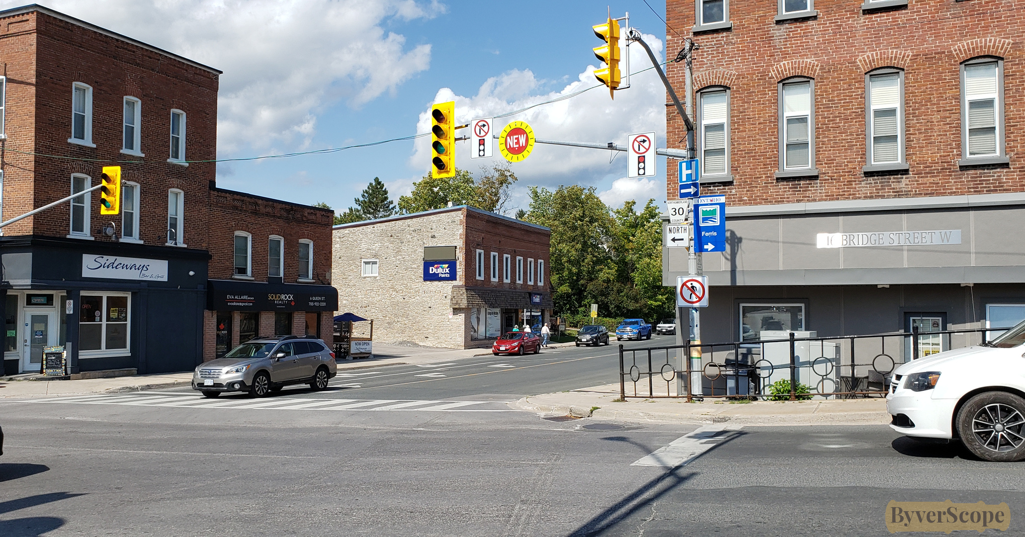
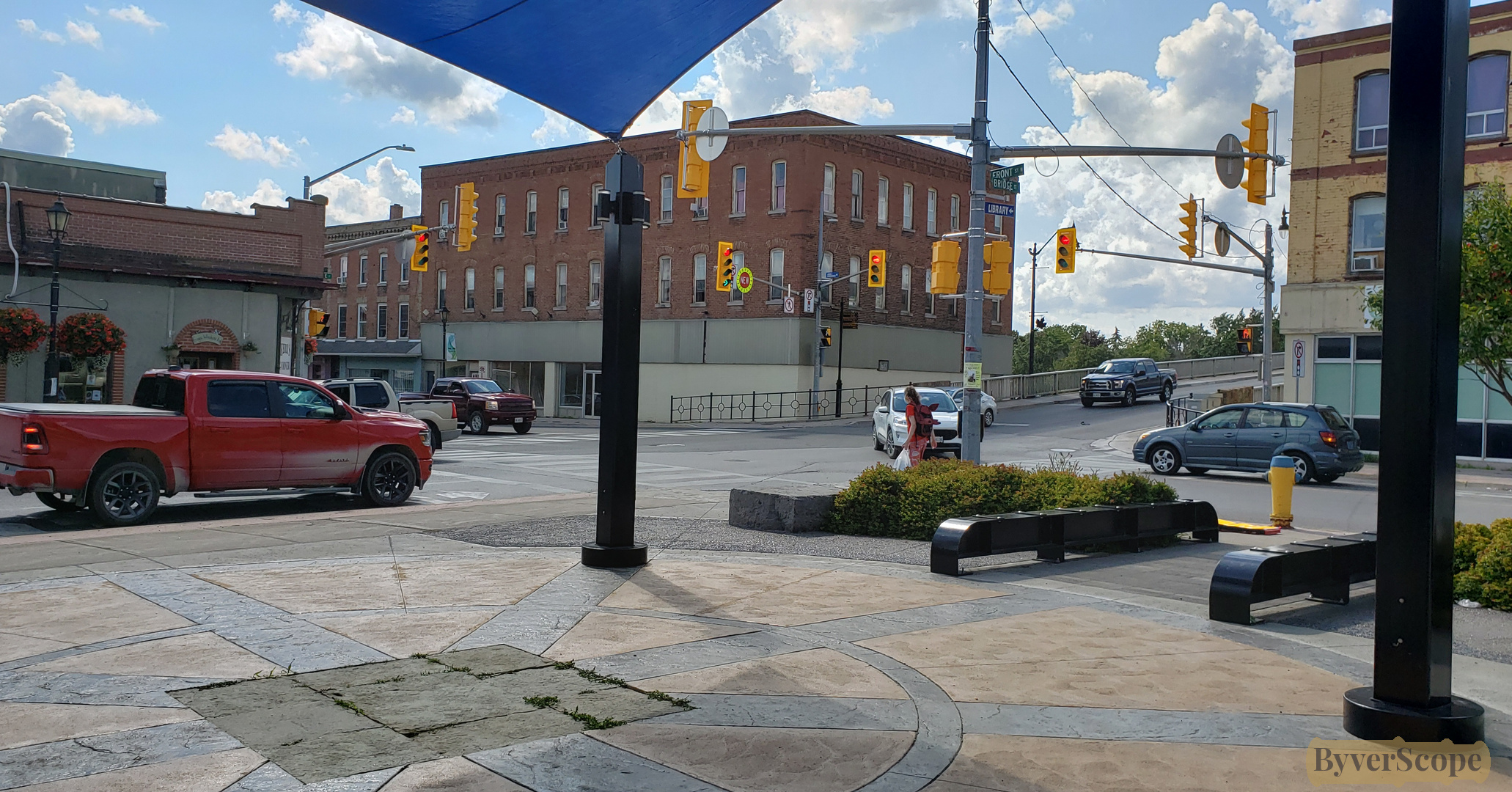
Bridge Street meets Queen Street—traffic lights, signage, and everyday town rhythm.
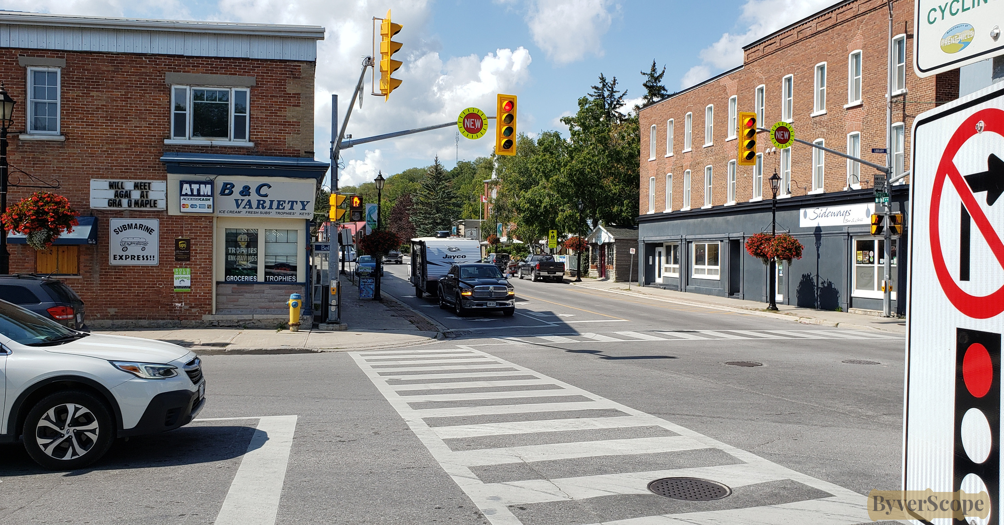
The same intersection from another angle, quietly anchoring the town grid.
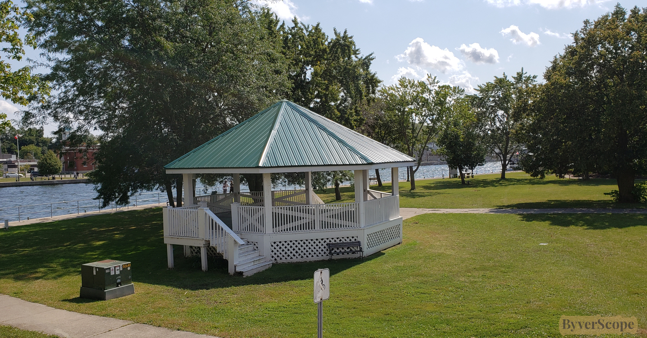
An octagonal pavilion sits at the heart of Old Mill Park, shaded and waiting.
From the overpass, the river opens wide to the south, sky and water sharing the frame.
Cars pass overhead as the bridge carries daily life across the river.
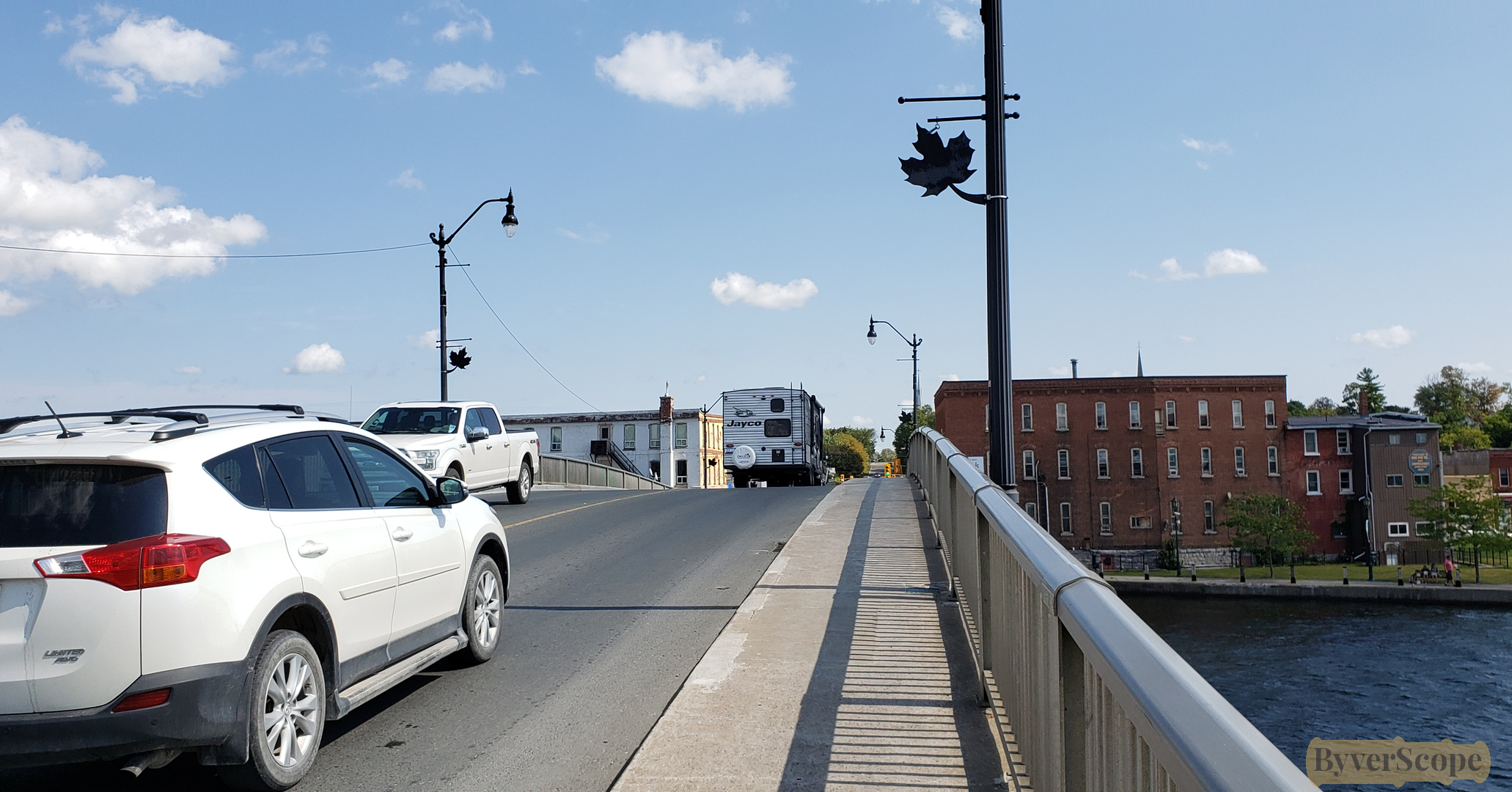
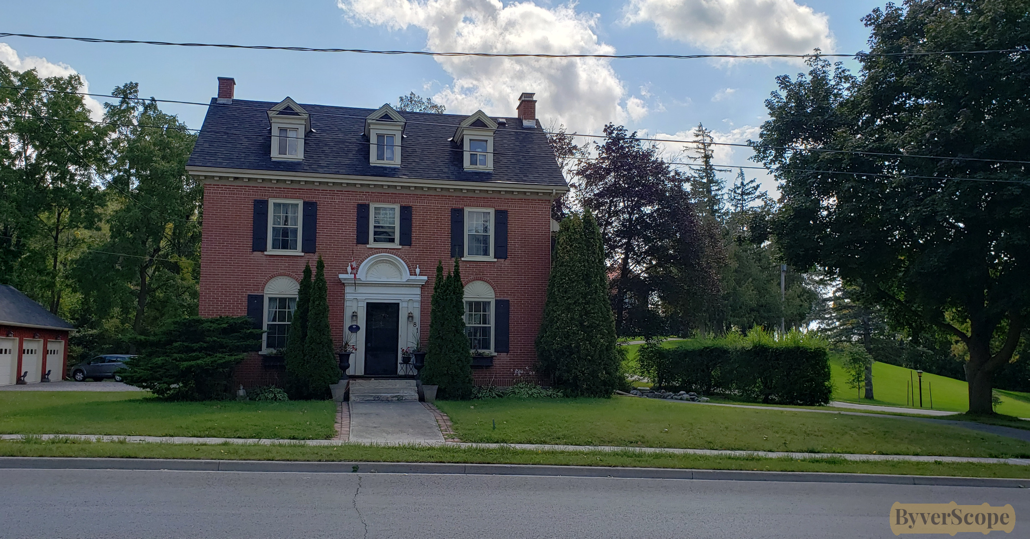
A well-kept, two-storey colonial-style building hints at Campbellford’s layered past.
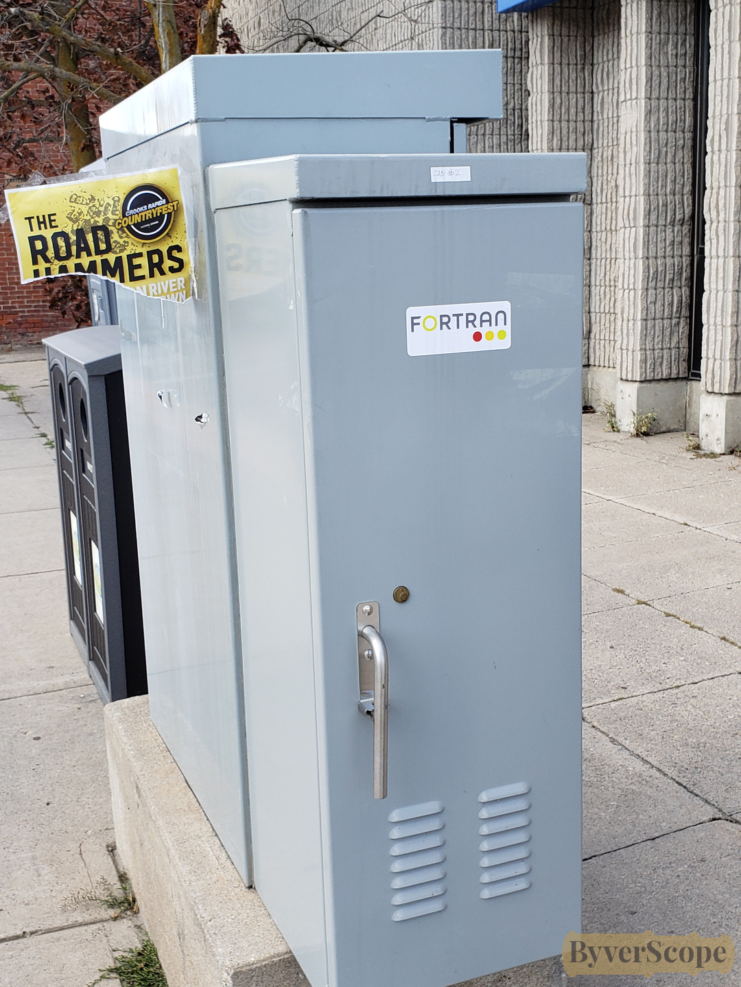
A street utility box labeled “Fortran”—an unexpected, nerdy detail hiding in plain sight.
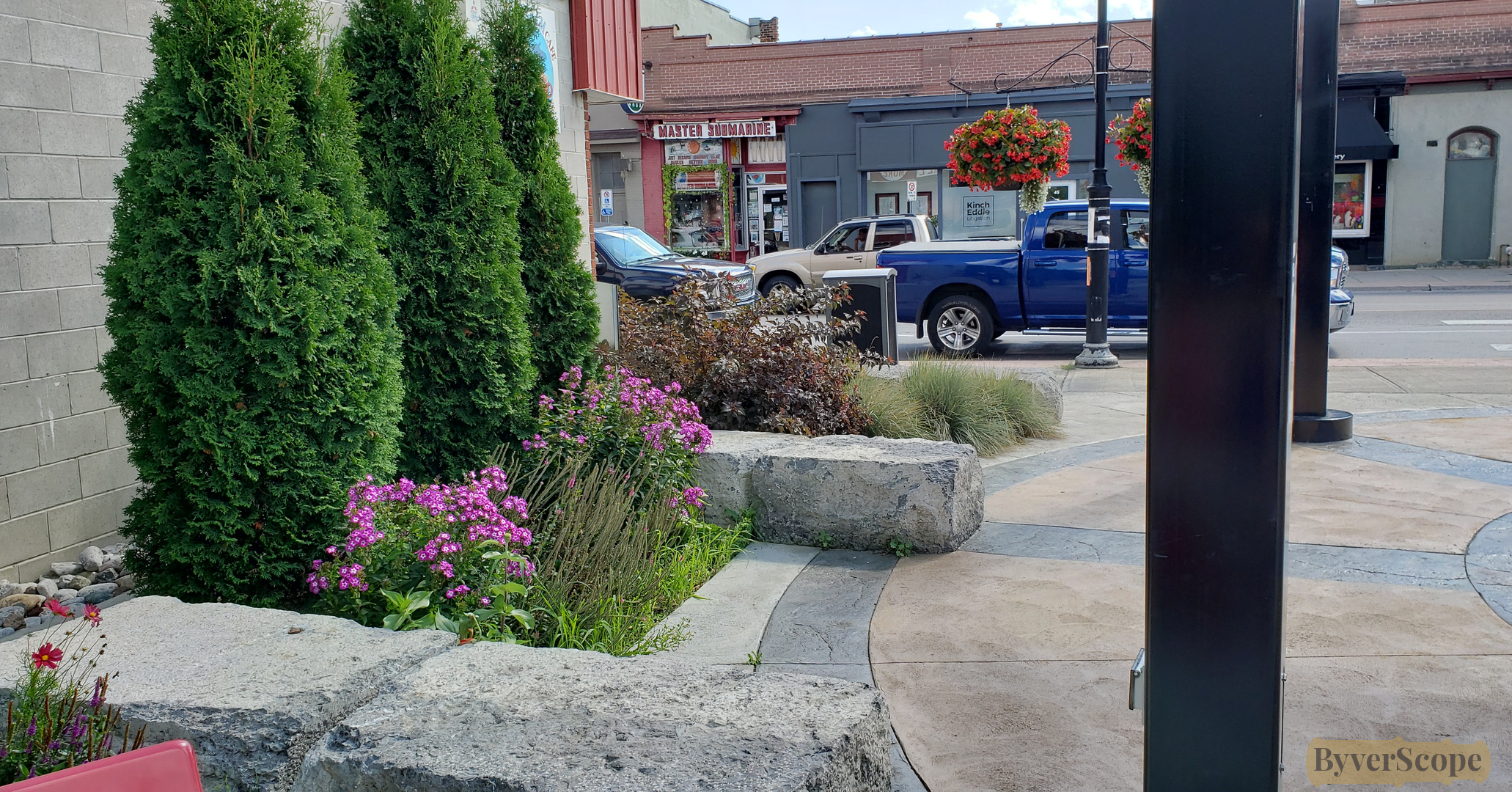
At Front and Bridge, a compass-style pavement design turns the street into a small civic moment.
Flowers and shrubs soften the edges of brick and sidewalk nearby.
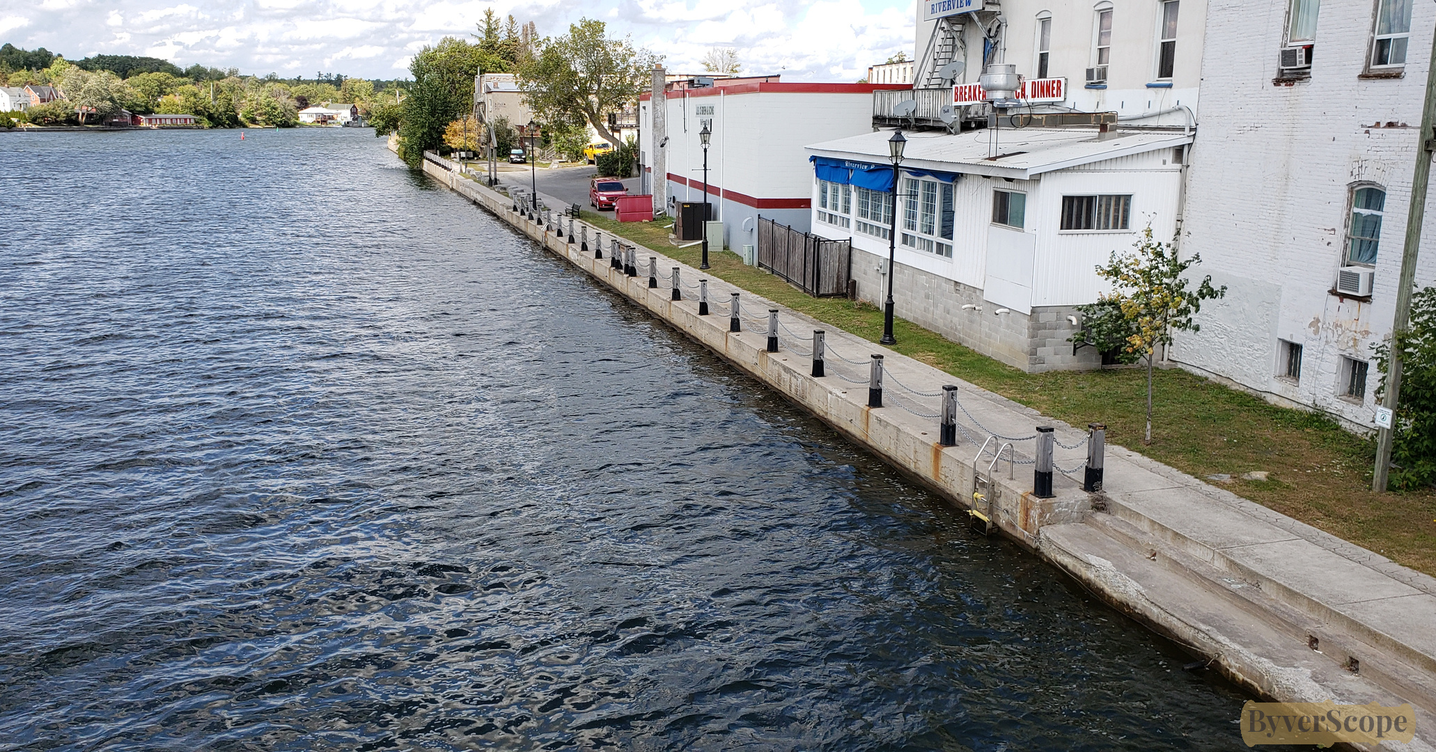
From the overpass looking north, the backs of riverside businesses line the water.
Good to Know
- Stretched area, can walk or drive
- Ferris provincial park is right across the Ranney Gorge Suspension Bridge
- Streets can get busy near downtown
- Number of interesting stores along the Bridge st.
- Dogs welcome on leash
Spatial overview
This map shows the general shape of the experience. It is not intended for navigation or directions. Hover over points to see captions.
Closing
Once you’ve crossed the bridges, traced the canal, and looped back through town, Campbellford feels complete without being finished. The river keeps moving, the lock keeps working, and the town carries on at its own scale. It’s an easy stop, but one that rewards staying a little longer than planned.
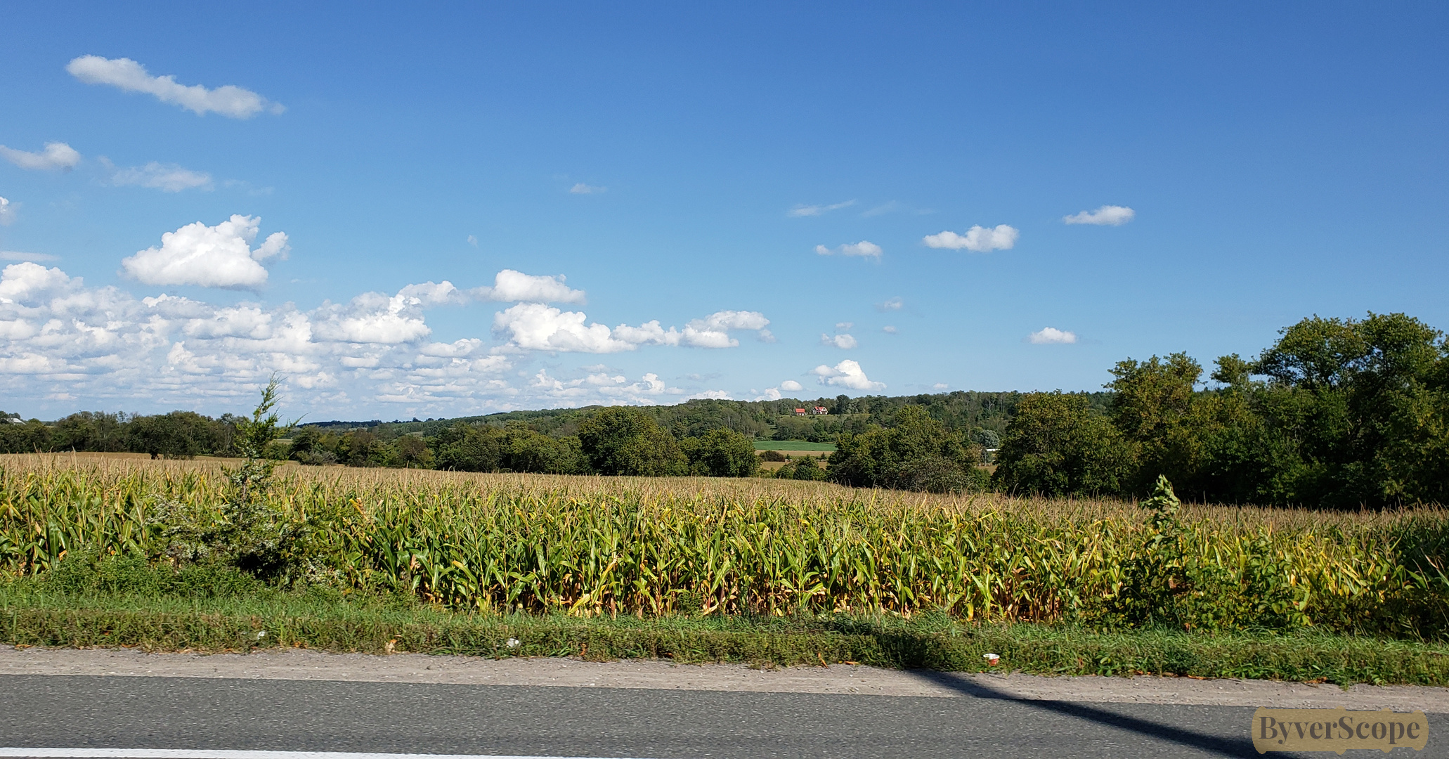
Leaving town to the south, cornfields stretch out, and Campbellford slowly fades into memory.
Join our newsletter
Stay updated on new areas, experiences, and travel inspiration.